Matthew Coolidge and The Center for Land Use Interpretation
Hardcover · 6 x 9″ · 152 pages
73 color illustrations and a fold-out map
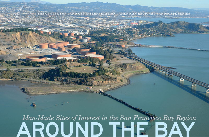
Around the Bay explores the connective tissue of the San Francisco Bay Area by following the shores up to the Sacramento River Delta. These shoreline sites, many of which are hard to see or even imagine without the advantage of an aerial view, collectively present a historic and contemporary portrait of this regional mega-city. The Bay is a geographic paradox: a place where the hardened surfaces of the industrial city crumble into the water, a shorefront with parks and recreational marinas; intensely visited in some areas and nearly inaccessible in others; its beauty is acclaimed, its dumping grounds unparalleled. The Bay is a natural entity borne of great rivers draining the entire Central Valley of California; however, every inch of its shoreline today is the product of human activity, by either intent or incident.
Coinciding with the opening of the new San Francisco–Oakland Bay Bridge, one of America’s largest contemporary civil works projects—and a physical as well as metaphoric reaffirmation of the vitally linked nature of the nation’s first great Pacific city—Around the Bay is the second book (following Up River: Man-Made Sites of Interest on the Hudson from the Battery to Troy) in the Center for Land Use Interpretation’s American Regional Landscape series.
Around the Bay is the second book in our series by the Center for Land Use Interpretation, which “has been putting together quietly impressive and obsessively detailed exhibitions, publications and field trips for nearly two decades” (Los Angeles Times). Through CLUI’s revelatory, original aerial photography and unique look at human interaction with the earth’s surface, Around the Bay explores the connective shoreline tissue of the San Francisco Bay Area, every inch of which today is the product of human activity, by either intent or incident.
